
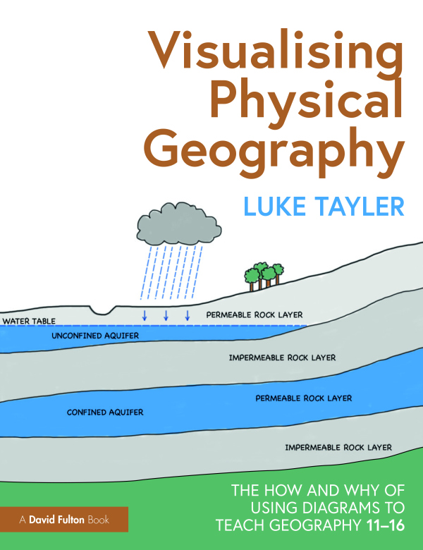
Visualising Physical Geography: The How and Why of Using Diagrams to Teach Geography 11–16
Vše od
Taylor & Francis
ISBN: 9781032301051
This practical guide breaks down the complex and broad field of physical geography, demonstrating how diagrams can be used by teachers to effectively explain the key concepts behind many natural processes and landforms. With over 200 diagrams that cover key topics, this is an essential guide for ...
Chcete ušetřit? Najdete u nás i výhodné sady produktů.
Množstevní slevy pro školy i jednotlivce.
578 Kč
- 1 - 3 ks
- 578 Kč
- 4 - 20 ks
- 572 Kč
- 21 a více ks
- 567 Kč
Naše cena 578 Kč je o 5 % nižší než
doporučená cena výrobce 609 Kč.
Předpoklad doručení do 18. listopadu *
* Termín expedice je odhadovaný a může se mírně upravit podle termínu dodání od našeho dodavatele. Pokud by došlo ke změně, vždy vás budeme včas informovat.
Nepřehlédněte od Taylor & Francis ↓



578 Kč
Více o produktu ↓
This practical guide breaks down the complex and broad field of physical geography, demonstrating how diagrams can be used by teachers to effectively explain the key concepts behind many natural processes and landforms. With over 200 diagrams that cover key topics, this is an essential guide for any Key Stage 3 or 4 Geography teacher.
This practical guide breaks down the complex and broad field of physical geography, demonstrating how diagrams can be used by teachers to effectively explain the key concepts behind many natural processes and landforms. Featuring over 200 diagrams that cover the key topics taught in Key Stage 3 and 4 Geography, the book shows teachers how they can convey age-appropriate concepts without overwhelming or oversimplifying.
Supported by summaries of background knowledge, common misconceptions, questions to check understanding, and extension activities, the concepts and topics explored include:
- Rocks and weathering
- Plate tectonics
- Rivers
- Coasts
- Weather and climate
- Ecosystems
- Glaciation
Backed by research and evidence to support the use of diagrams in the classroom, this is an essential read for any geography teacher or subject lead who wants to support their students in learning key concepts in physical geography.
Obsah
1. Why use diagrams; 2. How diagrams support learning; 3. How diagrams support teaching; 4. The diagrams; Rocks and Weathering; Plate Tectonics; Rivers; Coasts; Weather and Climate; Ecosystems; Glaciation
- Výrobce
- Taylor & Francis
- Jazyk
- eng
- Autor
- Tayler, Luke
- Obsah
- Paperback / Softback
- Rok vydání
- 2023
- Počet stran
- 296
Zanechte své hodnocení
Budeme rádi, když se podělíte o svou zkušenost s Visualising Physical Geography: The How and Why of Using Diagrams to Teach Geography 11–16 a pomůžete tak ostatním zákazníkům při výběru.